
Walker County Maps, Roads & Waterways
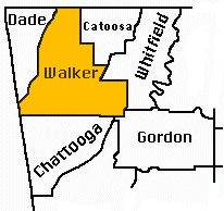
Surrounding County Websites
Dade
Catoosa
Whitfield
Gordon
Chatooga
Walker County was created from Murray County on 18 December 1833.
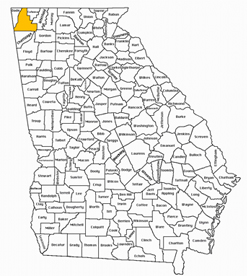
Click this link to see Walker County in GoogleMaps.
- This 1848 Map of Georgia is very large and quite detailed. You can see what land Walker County encompassed at that time.
- View G.W. Colton’s 1856 Map of Georgia in the David Rumsey Historical Map Collection website.
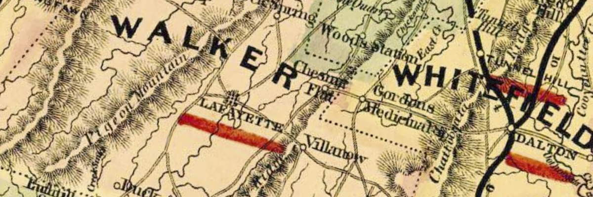
- This is an amazing 1864 Map of Walker County, with parts of Whitfield and Catoosa. This has family farms or homesteads marked by name. It’s a very large file but a great resource to view on a desktop. Interesting about this map is the description of creeks (depth, crossings), farm lands, topography in general and lots of roads.
Significant Waterways
Walker County does not have a large major river running through it in the way that nearby counties have the Tennessee or Oostanaula Rivers. Instead, Walker County is crossed by numerous creeks and smaller river systems, many of which were very important to early Cherokee settlement and subsequently ‘white’ settlers.
- Chickamauga Creek system — around modern Chickamauga and Crawfish Springs. This was one of the most important Cherokee settlement areas in present Walker County.
- Peavine Creek — associated with the Cherokee community known as Chestnut Town/Chestnut Flat.
- East and West Armuchee Creeks — especially important in eastern and southeastern Walker County. Early references to Strawberry Town place it around the headwaters of the Armuchee system.
- Duck Creek — runs through the western side of the county and the Chattooga Valley; associated with the Cherokee settlement called Duck Town.
- Chattanooga Creek — drains the northern part of Walker County toward Tennessee.
- Little River forks — drain areas around Lookout Mountain and southwestern Walker County.
- Spring Creek — appears frequently in early land and settlement descriptions and was associated with a Cherokee settlement referred to as White Oak Town.
Early Roads and Trails
After Cherokee Removal in 1838, the county’s transportation system developed largely by reusing old Cherokee paths — and then opening wagon, mail and stage routes between LaFayette, Chattanooga, Rome, Villanow, Crawfish Spring and the surrounding valleys. Rather than describe each of the roadways or trails here, a listing is provided to aid with your research.
- Chattanooga – LaFayette – Rome Road
- Old Federal Road
- LaFayette – Villanow – New Town Road
- Old Tavern Road
- McLemore Cove Road (or Cove Road)
- Crawfish Spring – Chattanooga (and) Crawfish Spring – LaFayette Road
- Lee and Gordon’s Mill Roads. Note that these became famous because of the Battle of Chickamauga during the Civil War, but the were ordinary farm and mill roads before the battle.
There were significant roads through the Pigeon Mountain gaps. Several wagon roads crossed Pigeon Mountain and linked LaFayette and eastern Walker County with McLemore Cove. Civil War-era sources identify Worthen’s Gap, Catlett’s Gap, Dug Gap, and Blue Bird Gap.